Cookie preferences

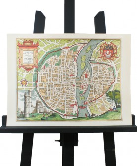
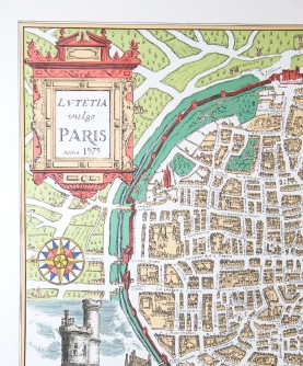
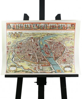
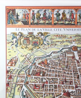
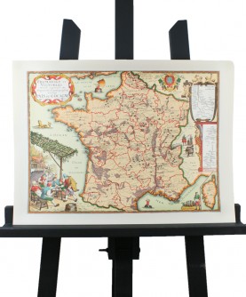
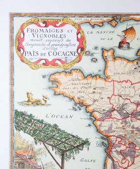
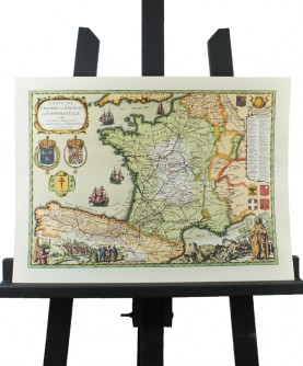
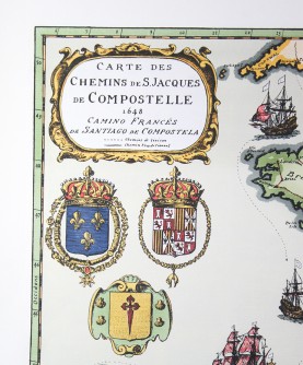
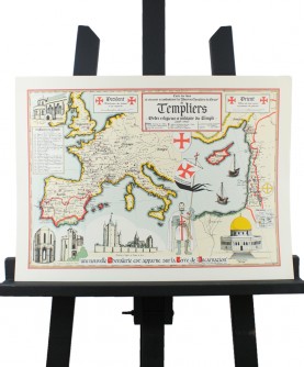
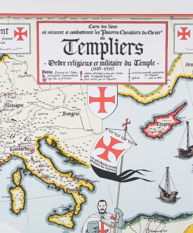
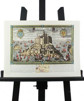
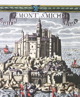
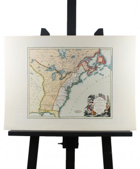
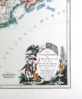
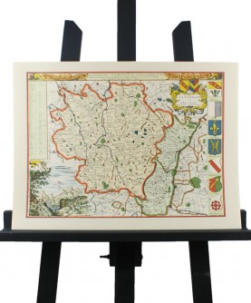
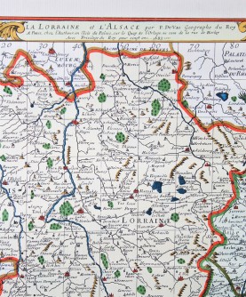
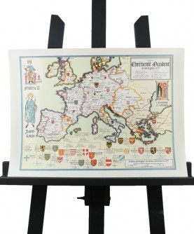
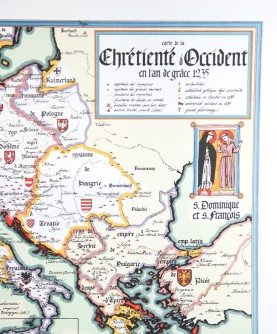
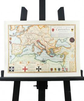
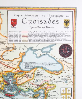
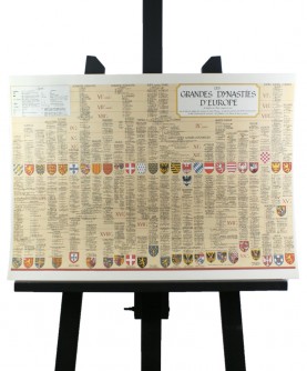
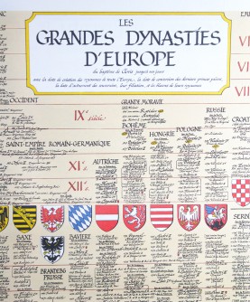
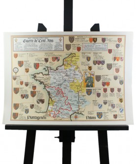
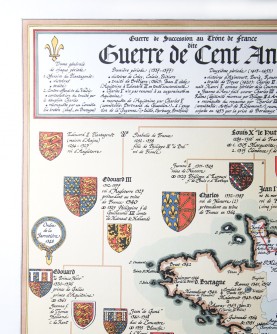
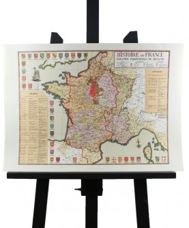
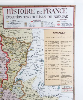
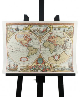
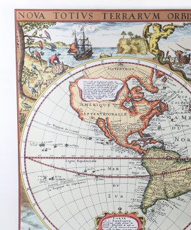
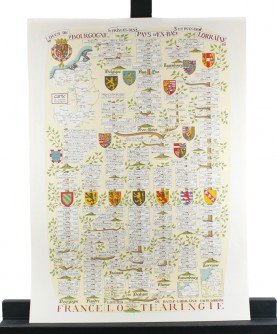
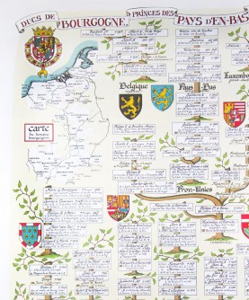
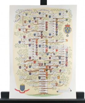
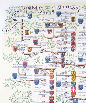
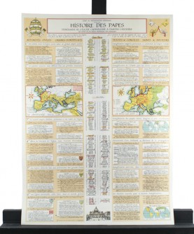
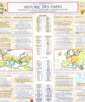
Geographical and historical maps
-
-
-
-
-
-
-
%s Review(s)
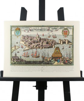
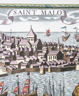
View of "Saint-Malo en l'Isle" in the 17th century
Gravure de Saint-Malo en l'Isle au XVIIème siècle. Format 40 x 54 cm.
€14.00 -
-
-
-
-
-
-
%s Review(s)
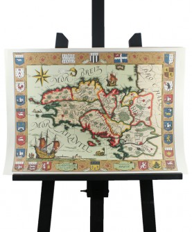
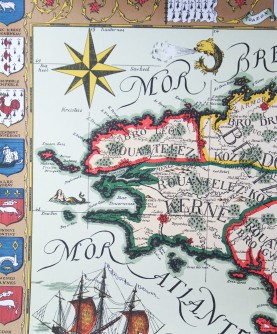
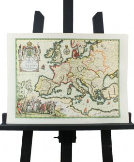
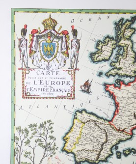
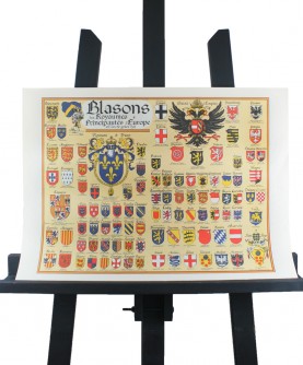
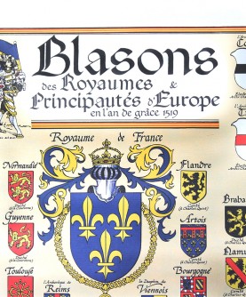
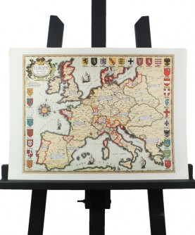
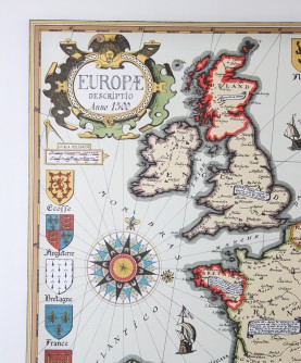
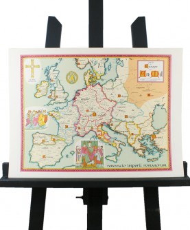
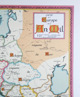
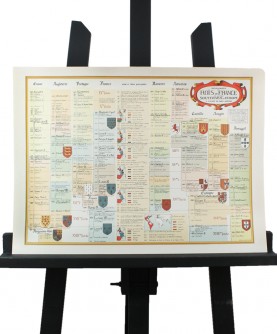
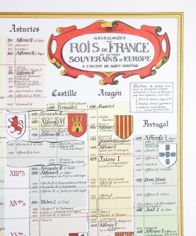
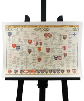
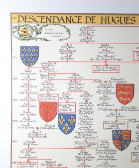
Map of the Coat of Arms of the Kingdoms &...
Blasons des Royaumes et Principautés d'Europe en l'an de grâce 1519. Format 40 x 54 cm.
€14.00 -
-
-
-
-
-
-
-
-
-
-
-
-
-
-
-
-